I rode from Ft Garland, CO to Walsenburg, CO today. The highlight was crossing over a mountain
pass at 9,400 ft – the highest I’ve ever ridden! Another day of Big Mountain viewing. Outstanding. The ride was a short 50 miles
with 1,832 ft of climbing – basically the climb up to the pass for the first 20
miles and then dropping 3k+ ft in the last 30 miles.
Weather: The weather
was cooler today – high 30s in the morning and high 60s by the time I rode down
into Walsenburg. Partly cloudy most of
the day and a wind from the west that was kind enough to push me the entire
ride! About 10 mph in the first couple
hrs and then easily 20 mph as I rode down the mountain. Note: there is a major snow/rain storm that
is forming today (that I beat!) and will have plenty of rain/snow in the area
tomorrow.
The Roads: The ride was all on the same highway – CO 160
which is a great highway for cyclists in this section. Pretty smooth and a wide riding lane for most
of the ride.
On to the pictures!

Sunset last night in Ft Garland. Blanca Peak on the right and clouds forming on the horizon.

Blanca Peak this morning - 14k ft+ Dramatic views!

Typical landscape riding up the river valley on Hwy 160.
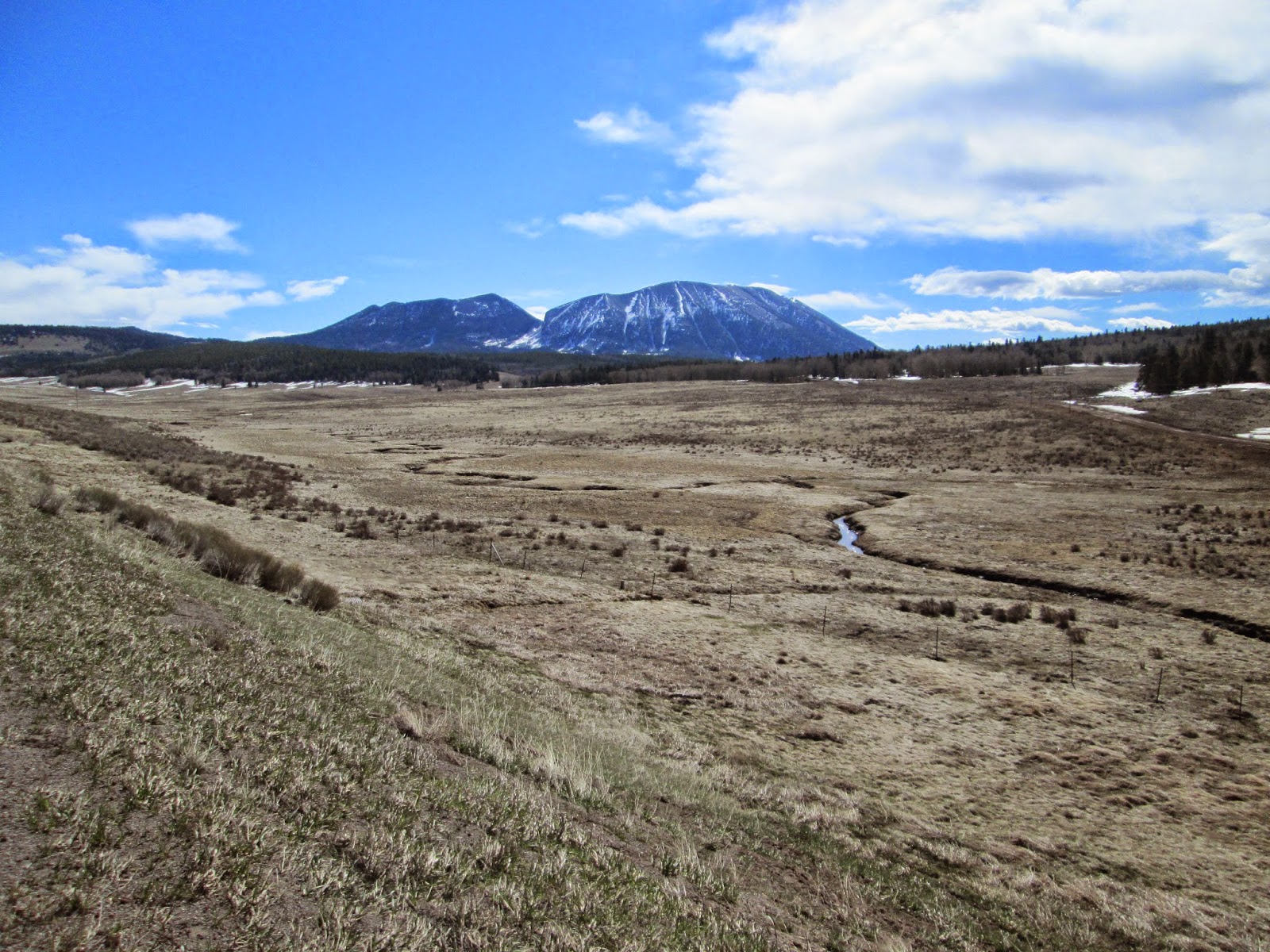
I believe that is Kruger Mountain (west of the Spanish Peaks).

I didn't bring mine and I'm 1 day ahead of the snow storm that is forming in central CO - so no need to stop!

The open meadow at the mountain top, near La Veta Pass.

Made it to the top! La Veta Pass at 9,400 ft - the highest I've ever ridden!

Lot's of downhill from here. In checking my computer readout after the ride - I literally went 30 minutes without pedaling after crossing the pass...

First look at the Spanish Peaks. The Ute Indians named them Huajatolla (pronounced Wa-ha-toy-a). I'll let you look up the definition of that.
The two peaks, West Spanish Peak (13,626 feet or 4,153 meters) and East Spanish Peak (12,683 feet or 3,866 meters), are east of, and separate from, the Culebra Range of the Sangre de Cristo Mountains. West Spanish Peak is the easternmost mountain over 4,000 meters in the United States.

The green roofed buildings seemed to be a popular architecture choice in this valley - striking views in front of the mountains.

Panorama, including the Spanish Peaks.

Video of the landscape about 1/2 way down from the pass. I did narrate this but the wind noise seems to have blocked out everything I said - not that interesting in any case!

Old Rusty Stuff!!

Old train station on Walsenburg, CO.

Large mountain range looking west and a bit north from Walsenburg.

Check out the mountain just behind the lamp post. Huge. This is looking north. Again, just guessing (maybe incorrectly) but I'm wondering if that is Pike's Peak up near Colorado Springs.

Home for tonight and tomorrow (where I'll be sitting out the Sunday snow storm).

The map is back!!
No comments:
Post a Comment