Hi Everyone
I'm taking a few days to fly back to Massachusetts to help out with a few key items at home and get some business meetings in. I'll be back on my bike on Tuesday, 8 April riding out from Albuquerque. Please check back in on the blog later that day for updates!!
Thanks,
Jeff
Monday, March 31, 2014
Sunday, March 30, 2014
Day 13 (Sat, 29 Mar)
I rode from Socorro, NM to Albuquerque, NM today. A relaxing ride following the Rio Grande
River valley north. The ride was 75
miles with 1,263 ft of climbing starting at an elevation of about 4,500 ft and
ending at about 5,000 ft.
Weather: The weather
was nice; a bit warmer than the past few days when I was riding at much higher
elevations. It was mostly sunny
throughout the day with temps in the 40s in the morning climbing to the 60s in
the afternoon. There was a mild 5-10 mph
wind for much of the day starting as a head wind out of the North and then
flipping around to be a South, tail wind.
The Roads: After searching for alternatives, I decided to
use I-25 for about 25 miles going north out of Socorro. As noted earlier, in the west where there are
no alternatives, cycling on the interstate is legal; it’s also safe, with a
wide riding lane. The only negative
sometimes is the huge amount of debris along interstates that are huge hazards
to bike tires, but in this case it looked like the break down lane had recently
been cleaned – great to cycle on! At the
US 60 junction (which heads East), I hopped on Hwy 116 for about 15 miles, Hwy
314 for about 20 miles, then switched over to Hwy 47 (crossing the Rio Grande
to get there) and rode that up into Albuquerque.
You’ll see from the pictures that compared to the last few
days, the landscape is again much drier, browner but still many mountains in
the area albeit further off from me given that I was riding within a few miles
of the Rio Grande for the entire ride.
On to the pictures!

Mountains west of Socorro (I rode down out of those yesterday).

I-25 looking north.

Small mountain range east of I-25 (I passed 2 of them on the ride north).

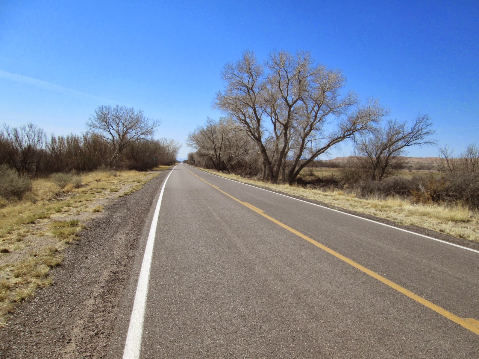
Nice riding lane and clean - just like they intended it to be for us cyclists!!! You can see a haze in the distance (looking north) - more on that in a minute...

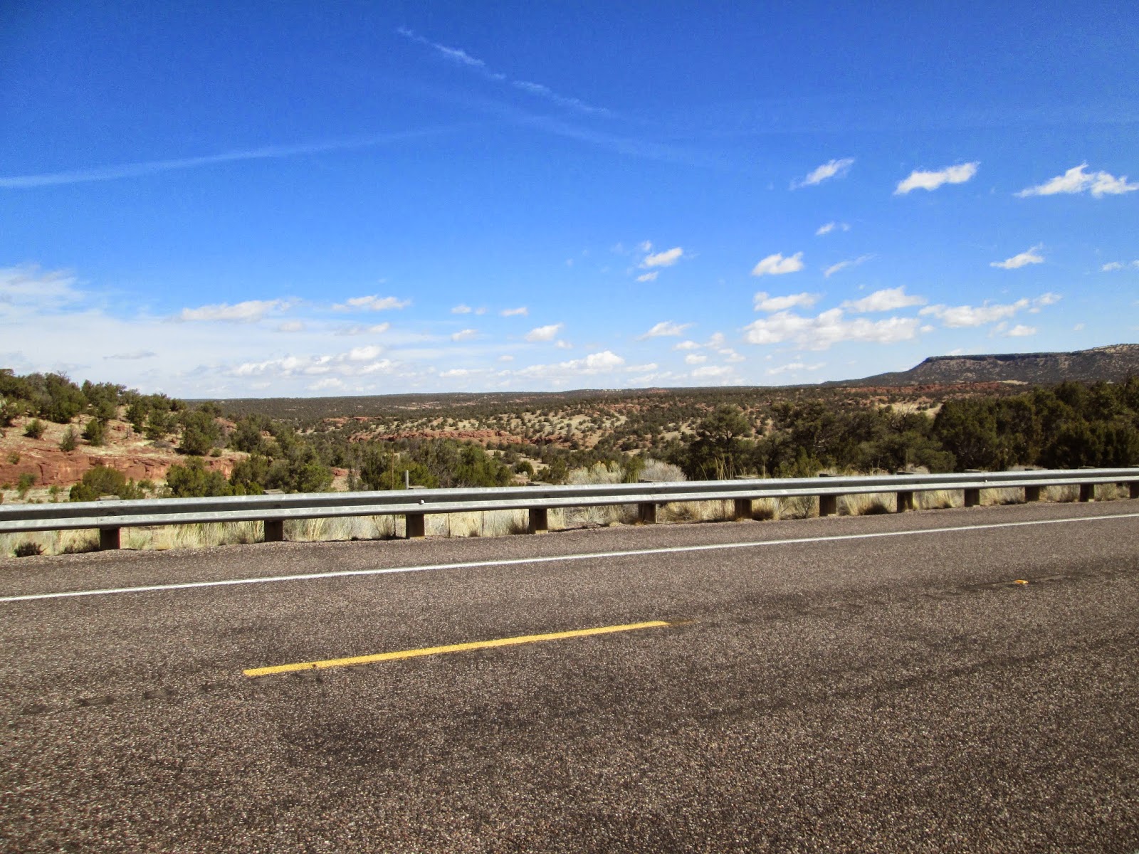
Pretty dry landscape just a couple of miles from the Rio Grande river.
Some of the first hardwood trees I've seen since the San Diego area. For the most part, no leaves on the trees yet, at this time of year.

There were fewer farms along the river than I thought there would be, but there were a few right along the river and the fields of crops are intensely green against the backdrop of all the dirt in this area.

Old Rusty Stuff - an old wagon maybe?

There was a wildfire that had started Friday, made the local news this morning, and was still burning as I passed it. I saw many firetrucks in the area and while the fire was still burning, they seemed to have it under control, which for the sake of those homes, I hope it was.

Neat looking train station in Los Lunas, NM. There appears to be a commuter rail that goes up and down the river valley, that I saw cruise past me earlier in the ride.

Famous Spanish explorer, Coronado, who led an expedition of about 2,000 men from northern Mexico through what is now the Southwest U.S., in the early 1540's. He was in search of the "the seven golden cities" including Cibola. He never found that but did create quite a historically notable trip. A good write-up on wikipedia: http://en.wikipedia.org/wiki/Francisco_Vásquez_de_Coronado.

Canals along the Rio Grande.

A small town, right along the Rio Grande, that I passed through. Sometimes its an island, depending on how high the river is...

Crossing the Rio Grande. Water in it this year (there was none last year in February when I crossed its dry river bed down in Las Cruces).


Cool! After 4,000 miles of riding this/last year I finally found an old portion of U.S. 66! More info here: http://en.wikipedia.org/wiki/US_66. The highway was established in 1926, ran from Chicago to Santa Monica, CA, and was formally decommissioned in 1985 (replaced by our interstate system). It was the first highway in the U.S. to be completely paved (in 1938). Even though its no longer a formal highway, it was so famous, that it still exists as state highways in some places, and there are plenty of signs like this one showing it where had passed.

Finally starting to see some horse ranches in NM. It is pretty cool - typically if you stop for a few minutes near horses they'll trot over to check you out. The 3 in this picture eventually all gathered at the fence to check out the weird Red creature standing on the road...

Home for the night!

Back by popular demand - "the Map" - my ride thus far. 860 miles of riding and over 35,000 ft of climbing through the mountains of CA, AZ, and NM!
Saturday, March 29, 2014
Day 12 (Fri, 28 Mar)
I rode from the tiny town of Datil, NM (50 residents) to
Socorro, NM (a little bit bigger!) today.
This was a fun ride with some climbing (500 ft) but mainly flats and
downhill coming out of the mountains into the Rio Grande basin (1,500 ft drop in just the last few miles into the basin). The ride was 63 miles, completely on US Hwy
60 again. About 1/3 of the way
into the ride I realized I had a good chance of doing 60+ miles at 20+ mph (I
tried that last year but came up just short at 19.8 mph); I went for it and did
20.5 average mph over 63 miles – awesome fun!
The weather was cold again in the morning starting at about 40 F, but as
I went down below 6,000 and 5,000 ft elevation the temps rose into the
70s. Completely sunny today. There was a mild 5-10 mph wind for much of
the day out of the NW and then North, so primarily tailwinds and then
crosswinds and a bit of head winds at the end of the ride.
For cyclists: Hwy 60 on this stretch worked ok again for the
ride. The pavement varied from bad to ok
to great. The main issue was that there
was no riding lane for most of the ride; offsetting that was generally very
little traffic (almost no one lives in the area and this is definitely not a
trucking route).
Check out the pictures for the story of the ride – some really
cool stuff today!

Very unique geographic feature (I'm not aware of anything else similar in the US) - a huge, basically flat (within 200 ft across 20 miles) plain in the middle of the mountains. More on the Plains of San Agustin here: http://en.wikipedia.org/wiki/Plains_of_San_Agustin.

As long as we have such a flat, high elevation plain (at over 6,000 ft elevation), we might as well put it to good use! Check the next few pictures and video out! This is the National Radio Astronomy Observatory "Very Large Array" that is 27 radio antennas in a Y-shaped configuration that acts as 1 antenna to map/take pictures of deep space. More info here on this array and others they operate across the US and World: http://www.vla.nrao.edu.

Close up!

Bike taking a rest - there is a visitor's building on the site but its 4 miles off Hwy 60 so I wasn't able to visit it.

Flat landscape!

Short video of the VLA and Plains - check it out!

Climbing up out of the plains toward the San Mateo Mountains.

The one town between Datil and Socorro - it seems that just about every town in NM was founded based on one of 3 things: 1) near a river (there aren't many...), 2) near a good ranching area, or 3) Silver was found in the area.

The North and South Baldy mountain peaks east of Magdalena. Hwy 60 goes right around them to the North - fun ride bypassing right around the mountains!

You'll have to zoom in on the picture to see this but this is at the upper edge (maybe about 2,000 ft about it) of the Rio Grande River basin just before I started the primary descent into the valley to Socorro.

A little history of the town - settled initially in the early 1600's.

Mountains to the west of Socorro.

Home for the night!
Friday, March 28, 2014
Day 11 (Thurs, 27 Mar)
I rode from Quemado, NM to Datil, NM today. The two notable items for the ride: 1) I
cross the continental divide today and 2) I passed through a town called “Pie
Town” and pretty much the only thing there were 4-5 pie-serving cafes. The ride was a short 43 miles, completely on
US Hwy 60 again. The ride had fewer
hills but was at high elevations of 7,000 to 8,100 ft in elevation, with 1,716
ft of vertical climbing. The weather
was cold again in the morning starting at about 40 F, climbing up to maybe the
low 50s mid-day but was pretty chilly at the higher elevations. There was a strong 20 mph wind for much of
the day out of the West and SouthWest (tail winds primarily that pushed me
along quite nicely, with my riding speeds topping out at 25-30 mph on the flats
just like yesterday!).
For cyclists: Hwy 60 on this stretch worked ok for the
ride. The pavement was quite smooth for
about ½ the ride and quite rough the other ½.
For the most part there is no shoulder you can ride on, however, there
is very little traffic on the highway (my guess is that this would also be true
in the warmer summer months – not many tourist attractions here) so you can
ride on the driving lane pretty safely (especially with a rear view mirror).
Continuing to ride at the higher elevations has been a good
challenge. I’ve been at 6,000 to 8,000
ft since Sunday night. With less air to
breath it creates good challenges on the climbs to get enough oxygen –
definitely I’m increasing my lung capacity, which is hard to do on rides at lower
elevations.
Very scenic and enjoyable ride today. I rode through 2 ghost towns on Hwy 60 (yes,
they do exist) and saw some pretty interesting rock and mountain
formations. Also, a few cool “human
things” shown in the pictures below!
On to the pictures:

Check this out: this building in Quemado is so old that they have the logs on front of it to tie up horses!

Old rusty stuff - 1950s era car that I have no idea what model it is.

You will see plenty of windmills typically powering water pumps in this part of the world. This appears to be where they go when they retire!

I rode through the Cibola National Forest today and also along the Gila National Forest for the past couple of days (it's pretty big!).

Typical landscape at the higher altitudes of rocks and pines on the hills.

Interesting rock formations.

Coming into Datil - this town is SO small that they couldn't afford a separate sign post announcing their town - that's one I've not seen before... 54 residents (luckily one motel and cafe)!

Mixed in with mountain peaks in the area, plateau type mountains.


Actual name of a town - Pie Town! Not much here except 3-4 cafe's with plenty of pies. No time to stop; looked good though.

Key milestone - crossing the continental divide just east of Pie Town. Still cycling at 7k - 8k ft in elevation and building plenty of lung capacity.

Action film of the landscape from the bike.

Another example of the varying landscape of mountain forms in this part of NM.

Local history and perhaps the 1 notable person from this area of NM.

Home for the night - yes that is a gas station (and cafe, convenience store and luckily a few motel rooms). No cell coverage here - my kids would be amazed...
Thursday, March 27, 2014
Day 11 (Thurs, 27 Mar)
Hi Everyone - I'm in a small town tonight (Datil, NM) with a poor internet connection. I'll update the blog Friday night with pictures from the Thurs ride (great views today!) and the Friday ride.
Thanks
Jeff
Wednesday, March 26, 2014
Day 10 (Wed, 26 Mar)
I rode from Springerville, AZ to Quemado, NM today – State
#3! Distinctive geography throughout the ride - high mountain plains, brown grassy fields, rolling hills and mountains in the area. The ride was 48 miles, completely on
US Hwy 60. The ride was hilly the entire
way between 6,500 and 7,500 ft in elevation – 2,015 ft of vertical
climbing. The weather was cold again in
the morning starting at about 40 F, climbing into the 50s mid-day; partly
cloudy throughout the day. There was a strong
20-30 mph wind for much of the day out of the SouthWest (tail winds primarily
that pushed me along quite nicely, with my riding speeds topping out at 25-30
mph on the flats!).
For cyclists: Hwy 60 on this stretch worked great for
cycling, primarily due to the fast that there is almost no traffic... The pavement up to the AZ/NM border is very
smooth with a great riding lane. Once in
NM the pavement is quite rough and with no shoulder, but the lack of traffic
still enabled a good ride. I’m staying
at the Largo Motel and Café tonight; great motel recently re-built with great
food next door. A gem of a stop in a
part of the US with very few people.
I’m starting to get used to riding at such high altitudes; I’ve
never done this type of higher altitude riding over 5-6 days and it definitely
stretches your lung capacity – good deal, getting stronger every day.
On to the pictures:

Old Rusty Stuff near Springerville. Some type of grain conveyor?

Lot's of high mountain open plains in this part of AZ and NM.

Clear blue sky and jet contrails over the plains.
Typical of every valley - a wash or small creek bed - usually dry at this time of year.

Yikes! I did see some yesterday - luckily no snow at this elevation at this time...

Lot's of broad open plains and small pine and hardwood trees across the fields.

State #3 - New Mexico about 15 miles into the ride. I've needed to where my heavier cycling coat the past two days along with double socks, long pants, skull cap and full cycling gloves. Sunny but chilly right now, especially with the wind.

Snow capped mountain south of Hwy 60.

Mountains off in the distance that likely are 10k ft high or so.

Rough road and brown grass - a theme for the past few days. There are supposedly elk and deer in the area - haven't seen any yet, but I'll keep looking the next few days.

If you zoom in on this picture you might be able to see the variations in rock colors on that plateau (which is just north of Quemado).

The Quemado story. My guess is that there are 200 or so folks that live in this town. Short Wikipedia entry: http://en.wikipedia.org/wiki/Quemado,_New_Mexico.

Home for the night!
Subscribe to:
Posts (Atom)